On August 8th I completed my longest trip as pilot-in-command and my longest cross country trip non-solo that covered over 400 miles of northern New York State.
The Flight Plan
This trip was to start in Penn Yan, NY at KPEO around 10:00 (14:00 Zulu) with full-stop landings in each of the following airports:
K09 – Piseco, NY
KLKP – Lake Placid, NY
KSLK – Saranac Lake, NY
KMSS – Massena, NY
KOGS – Ogdensburg, NY
KART – Watertown, NY
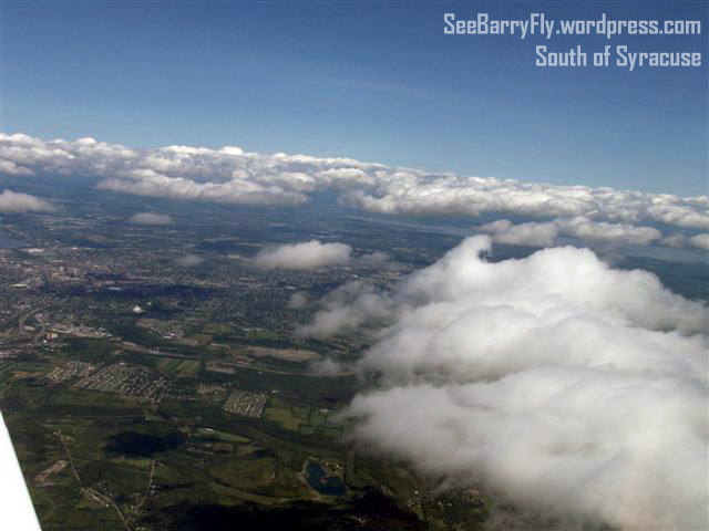
I could write an entire book on this flight, but I won’t since I am still a bit tired from it. So instead I will summarize each landing experience. I have never visited any of these airports as a pilot and had no idea what to expect. The only information I had was from the AOPA Airport Directory or satellite photos and various Notams (Notices to Airmen) concerning conditions at the airports. Ironically, the two most difficult airports (Piseco and Lake Placid) didn’t have any weather information on the field and had the shortest runways. Good times!
K09 – Piseco, NY
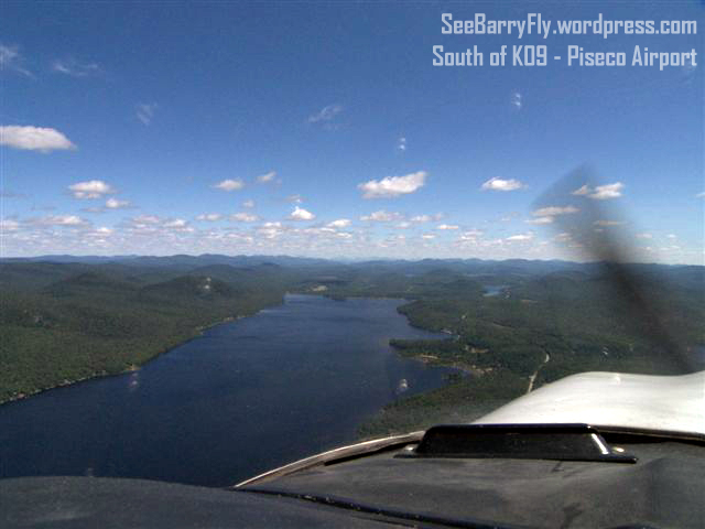
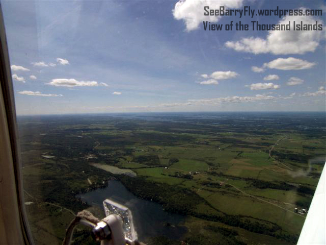
Piseco is a valley with a lake on the south end (see photo above) and high hills on the west side and rolling hills on the east side with a green swampy valley on the north side. The runways is all of 3000 feet and narrow with wind coming from different directions as it pours into the valley from the hills or comes into the valley from the lake, or in our case both!
This was going to be my first landing of the day and the most challenging. On my first attempt I was on downwind on the right side of the runway and would be turning base to final. I was a bit close to the field and should have…could have…extended my downwind leg before the landing. Instead I wanted to be a bit more aggressive for a change and bring it in from where I was. So I started my 180 degree turn for runway 22 and was bring it on home. Once I got over the numbers, my instructor said…Go Around. So I did. It would have been nice getting a bit closer to the runway but when the man says Go Around…you go around. Up into the sky we went with nothing but lake in front of us and hills to the right.
Up and around we went, back to the downwind for another approach. This time I extended my downwind, so much so that I had to bring in a bit more power to land. Over the numbers we went…not too fast…and we floated…and floated…and floated. Well you can do only so much floating on a 3000 foot runway, so I kind of encouraged it to land by bringing it closer to the runway. When the wheels finally touched, braking was applied immediately. We still had some runway left, but that was the most floating I have ever done in a low wing…usually I worry more about sinking too quickly! Enough of this!
After a brief “discussion” as we taxied and did our post landing and pre-takeoff checklists, we programmed the GPS for Lake Placid and took off.
KLKP – Lake Placid, NY
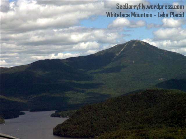
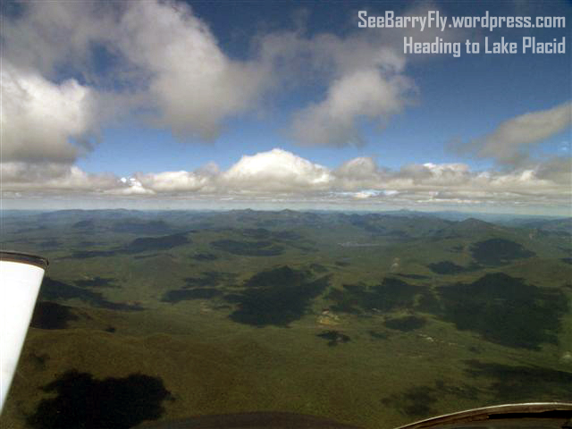
Apprehension is a word that comes to mind when flying over nothing but trees, mountains and bogs. As a pilot you are always looking for your landing spot should something happen. In the Adirondacks your options are limited…very limited.
Apprehension can be defined as the following:
apprehension (understanding), awareness or understanding of something by the mind.
apprehension (fear), a fearful emotion.
I was feeling more of the first definition than the second, although the second wanted to creep into my head anyway. Training keeps the second one from taking the lead and I was too busy flying the GPS-A Keene approach to KLKP (Lake Placid) to be worrying about being fearful anyway, so in that respect things were going well.
A GPS approach is a defined path and altitude that you are required to fly in order to land at an airport under poor visibility (or instrument conditions). An approach tells you where to be and what altitude you need to be at as it “steps” you down to the runway. At Lake Placid it’s a damn interesting approach, the hills around you are beautiful but you can’t fixate on that, you need to look at the GPS approach to maintain your glide path over the hills and the valleys to get to this field. In my case, I did look around a bit as I was going +/- 5 to 20 degrees off course.
Gordy saw this and said…Do you want me to fly the plane? Well I didn’t know why he asked me that but he clarified why and with that insight I got back to the business of flying the approach.
Down to the runway we flew…mountains to the left and right with rolling hills in front of us, just like I flew in Microsoft Flight Simulator. It was awesome in many ways, but once again we had no idea where the wind was coming from and we had a 4000 foot runway ahead of us with a long displaced threshold. No worries though, the wind was just off to our side a bit and there wasn’t much of it. We landed fairly well but I was to the left of the centerline and was using right rudder to get back to it. As I did this Gordy somehow got his foot caught under the rudder pedals and started to thrash around a bit as we took the first taxiway to get clear of the runway for a twin that was coming in behind us.
Due to HIPPA regulations I won’t discuss Gordy’s foot, but at least I understand why there was some resistance in the pedals!
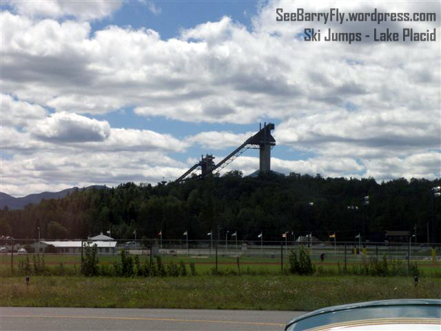
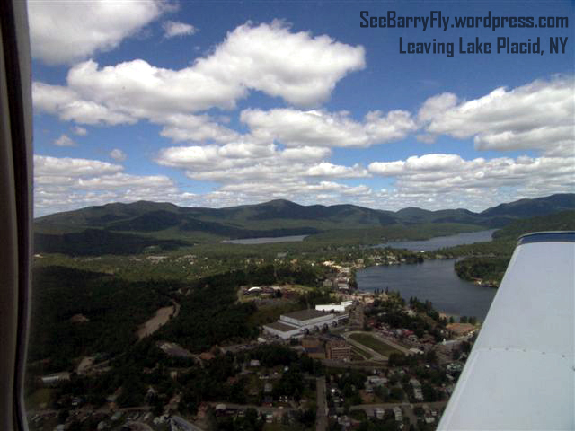
After another brief “discussion” we decided to NOT fuel up at Lake Placid and planned our next trip to KSLK – Saranac Lake, also known as Adirondack Regional just 10 miles way.
KSLK – Saranac Lake, NY
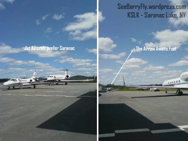
It was time for fuel and after Lake Placid the 10 mile trip to Adirondack Regional (KSLK) or Saranac Lake was something to look forward to. I needed to get some fresh air in my lungs and walking around would be a good thing.
Adirondack Regional is away from the mountains and has some rolling hills around it, much more appealing for the non-mountain type of pilot. You have the option of two runways and in our case runway 27 was perfect since the wind was coming right down the runway at around 6 knots. Both runways are wide and you have a choice of the RWY 9/23 at 4000 feet or 5/23 at 6300 feet. The FBO has cheap fuel and a couple of vending machines as well as a lounge and showers if you need them.
Landing here was no issue once I understood where I was relative to the airport. We didn’t need to climb much to get here and trees were blocking my view of runway 27. Again, I got that straightened out with Gordy’s assistance and preceded downwind to base and final for a pretty smooth landing. Once on the ground I taxied off and took direction from the ground crew to park and request fuel. After about 20 minutes and $105 for 22 gallons of fuel it was time to get back in the cockpit and head to Massena International – also known as Richard Field (KMSS).
KSLK was a nice place to land and the FBO was busy fueling jets. It was good to see some life an the airport!
KMSS – Massena, NY, KOGS – Ogdensburg, NY and KART – Watertown, NY
After being in the mountains, the flights one after another to the next three airports are basically a non-event. All three airports run along the St. Lawrence Seaway between the United States and Canada. All were quiet as far as traffic and all had runways running west to east. We did full-stop landings at each of these and had the place to ourselves.
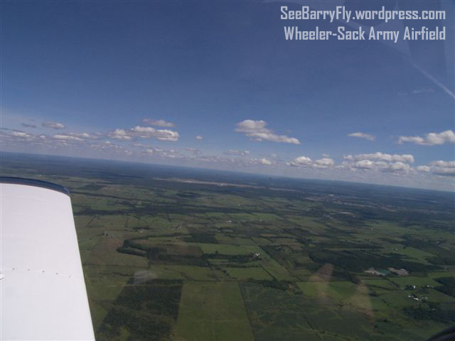
It was good to see flat land again with a ton of places to land. Canada was to my right on the other side of the river and off to my left was Wheeler-Sack Army Airfield. Wheeler-Sack can accommodate any aircraft in the U.S. Air Force inventory, and with scales, an ammunition holding area, refueling points, and a vehicle staging and inspection area, the field can serve as the primary departure airfield for the 10th Mountain Division. The new pre-deployment processing facility at the airfield accommodates up to 1,200 soldiers, allowing entire battalions to stage directly to overseas destination from the field.
Flyaway Home
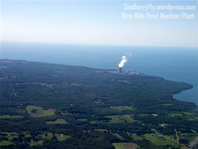
Ahead of me after Watertown we could see the cooling tower of Nine Mile Point Nuclear Station located on a 900-acre site that is shared by the Fitzpatrick nuclear plant. Nine Mile Point 1 is one of the Nation’s two oldest reactors still in service.
For me this was a sign that were in the home stretch to Penn Yan. We were on the final leg of what my friend Gordy said was an “opportunity of a lifetime”. I can’t disagree with that, however I can only image that a re-creation of this trip in the fall would be in order and my guess would be that it couldn’t be anything less than spectacular!
The Score Card
To date I have earned the following:
192.8 hrs. – Total Time Flying
87.0 hrs. – PIC (Pilot in Command) Time
1.2 hrs. – SIC (Second in Command) Time
16.7 hrs. – Complex Aircraft
3.2 hrs. – High Performance Aircraft
42.6 hrs. Cross Country Time
Goals completed to date:
Complex Endorsement
High Performance Endorsement
12.5 hours in the Arrow (2.5 more than is required to fly it solo PIC in the club)
I still need to earn total of 100 hours PIC time of which only 13 hrs. remain.
That’s where things stand now! Blue skies!!!
All Photos By Gordy Young


4 Responses
Barry,
Nice write up and congratulations on living your dream!
It is a fortunate man who is able to see the beauty of upstate New York from the front seat of an aircraft going where he wants it to go..
“Big Toe” Young
It takes a brave man to experience it with me!
Good Job Barry!
Thanks Sher! It was fun…hope to do it again in the future, hopefully during the fall.